Mansfield, Notts - NG18
Introduction
The photograph on this page of Mansfield, Notts - NG18 by David Hallam-Jones as part of the Geograph project.
The Geograph project started in 2005 with the aim of publishing, organising and preserving representative images for every square kilometre of Great Britain, Ireland and the Isle of Man.

There are currently over 7.5m images from over 14,400 individuals and you can help contribute to the project by visiting https://www.geograph.org.uk
Mansfield, Notts - NG18
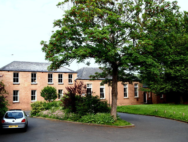
Image: © David Hallam-Jones Taken: 19 Jun 2012
A view of the "Old Meeting House" and forecourt taken from its driveway off Walkden Street. This Unitarian Church was founded by a group of Anglican clergy following the passing of the 1662 Act of Uniformity that dictated the way that all Church of England ministers were to run their churches. Opened in 1702, this is said to be the oldest non-conformist church in the county.
Images are licensed for reuse under creativecommons.org/licenses/by-sa/2.0
Image Location


Leaflet Map data © OpenStreetMap
Latitude
53.144539
Longitude
-1.200258