Mansfield, Notts - NG18
Introduction
The photograph on this page of Mansfield, Notts - NG18 by David Hallam-Jones as part of the Geograph project.
The Geograph project started in 2005 with the aim of publishing, organising and preserving representative images for every square kilometre of Great Britain, Ireland and the Isle of Man.

There are currently over 7.5m images from over 14,400 individuals and you can help contribute to the project by visiting https://www.geograph.org.uk
Mansfield, Notts - NG18
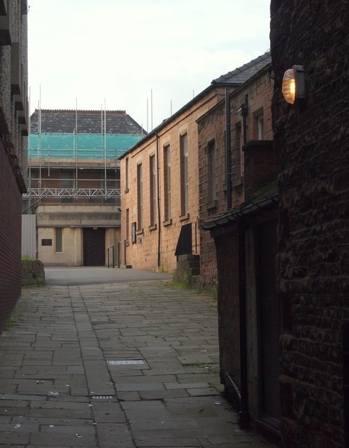
Image: © David Hallam-Jones Taken: 19 Jun 2012
The building on the far left seems likely to be an extension to the original "Old Meeting House" (the earliest Unitarian chapel). This passageway stretches from Stockwell Gate towards the current newer "Old Meeting House" that is currently having a new roof fitted.
Images are licensed for reuse under creativecommons.org/licenses/by-sa/2.0
Image Location
Latitude
53.144174
Longitude
-1.199517