Beet field, Bleathwood
Introduction
The photograph on this page of Beet field, Bleathwood by Richard Webb as part of the Geograph project.
The Geograph project started in 2005 with the aim of publishing, organising and preserving representative images for every square kilometre of Great Britain, Ireland and the Isle of Man.

There are currently over 7.5m images from over 14,400 individuals and you can help contribute to the project by visiting https://www.geograph.org.uk
Beet field, Bleathwood
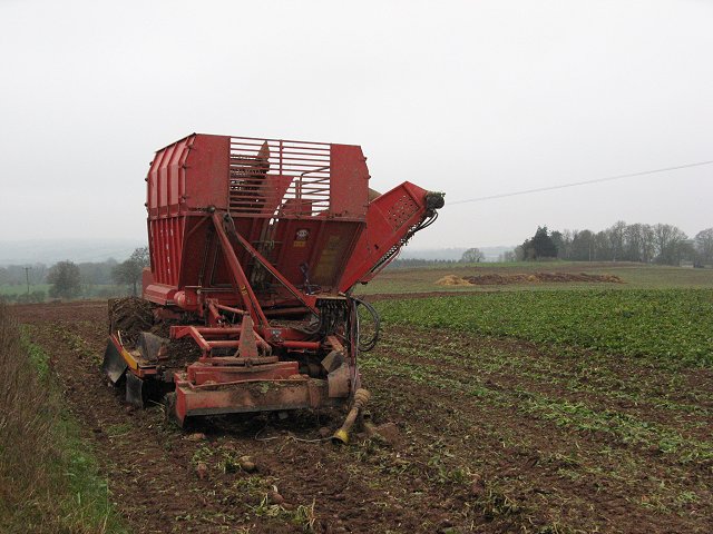
Image: © Richard Webb Taken: 25 Dec 2006
Field of sugar beet with harvester.
Images are licensed for reuse under creativecommons.org/licenses/by-sa/2.0
Image Location


Leaflet Map data © OpenStreetMap
Latitude
52.321817
Longitude
-2.648441