Meadow near Rushford Barton
Introduction
The photograph on this page of Meadow near Rushford Barton by Derek Harper as part of the Geograph project.
The Geograph project started in 2005 with the aim of publishing, organising and preserving representative images for every square kilometre of Great Britain, Ireland and the Isle of Man.

There are currently over 7.5m images from over 14,400 individuals and you can help contribute to the project by visiting https://www.geograph.org.uk
Meadow near Rushford Barton
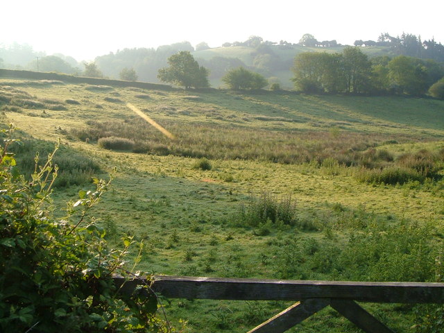
Image: © Derek Harper Taken: 8 Jun 2006
On the other side of the road from Image, into the morning sunshine. The tiny watercourse mentioned in that image saunters round the edge of this field. There should be a sizable pond in the centre, but it seems to have shrunk in the dry weather. (Update - see Image) In the background is the Teign valley.
Images are licensed for reuse under creativecommons.org/licenses/by-sa/2.0
Image Location
Latitude
50.686521
Longitude
-3.831319