Varied housing styles in Poundbury
Introduction
The photograph on this page of Varied housing styles in Poundbury by Ruth Riddle as part of the Geograph project.
The Geograph project started in 2005 with the aim of publishing, organising and preserving representative images for every square kilometre of Great Britain, Ireland and the Isle of Man.

There are currently over 7.5m images from over 14,400 individuals and you can help contribute to the project by visiting https://www.geograph.org.uk
Varied housing styles in Poundbury
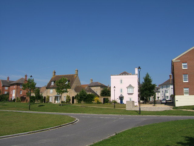
Image: © Ruth Riddle Taken: 4 Jul 2011
Looking north across Middle Farm Way towards a largely residential area of Poundbury.
Images are licensed for reuse under creativecommons.org/licenses/by-sa/2.0
Image Location
Latitude
50.711238
Longitude
-2.461381