Along the Byway, Landguard, Isle of Wight
Introduction
The photograph on this page of Along the Byway, Landguard, Isle of Wight by Peter Trimming as part of the Geograph project.
The Geograph project started in 2005 with the aim of publishing, organising and preserving representative images for every square kilometre of Great Britain, Ireland and the Isle of Man.

There are currently over 7.5m images from over 14,400 individuals and you can help contribute to the project by visiting https://www.geograph.org.uk
Along the Byway, Landguard, Isle of Wight
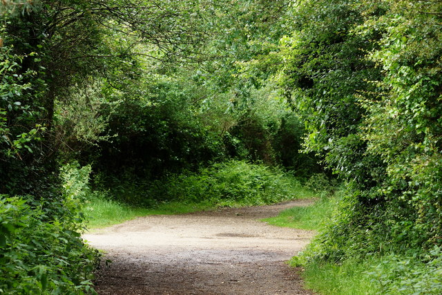
Image: © Peter Trimming Taken: 13 Jun 2012
On the outskirts of Shanklin, a byway runs north-south, and a bridleway runs east-west. The route, behind the photographer, runs to Shanklin Station; some half a mile distant. A caravan park lies, just out of picture, to the right.
Images are licensed for reuse under creativecommons.org/licenses/by-sa/2.0
Image Location
Latitude
50.639251
Longitude
-1.184974