Seiont Valley above Pont-rug
Introduction
The photograph on this page of Seiont Valley above Pont-rug by Eric Jones as part of the Geograph project.
The Geograph project started in 2005 with the aim of publishing, organising and preserving representative images for every square kilometre of Great Britain, Ireland and the Isle of Man.

There are currently over 7.5m images from over 14,400 individuals and you can help contribute to the project by visiting https://www.geograph.org.uk
Seiont Valley above Pont-rug
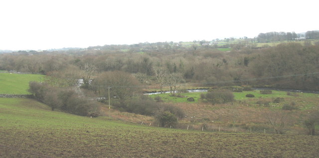
Image: © Eric Jones Taken: 25 Dec 2006
The ditch through the boggy area parallel with the bottom of the slope was a leat carrying water for powering the now disappeared Pont-rug slate works which produced writing slates for schools.
Images are licensed for reuse under creativecommons.org/licenses/by-sa/2.0
Image Location
Latitude
53.147854
Longitude
-4.223406