East Laine (1)
Introduction
The photograph on this page of East Laine (1) by Simon Carey as part of the Geograph project.
The Geograph project started in 2005 with the aim of publishing, organising and preserving representative images for every square kilometre of Great Britain, Ireland and the Isle of Man.

There are currently over 7.5m images from over 14,400 individuals and you can help contribute to the project by visiting https://www.geograph.org.uk
East Laine (1)
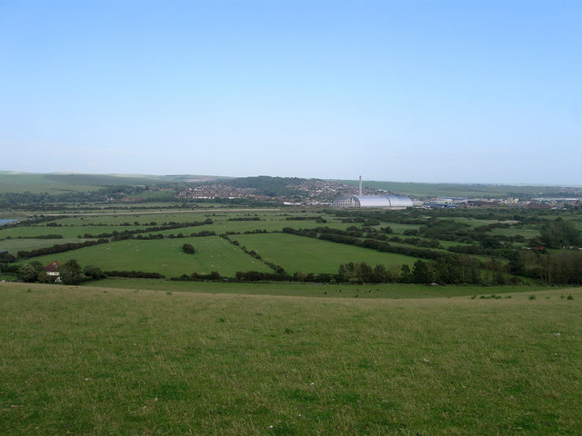
Image: © Simon Carey Taken: 16 Jun 2012
The name of the field according to Piddinghoe's 1843 tithe map that lies on the eastern slope of Nore Down. The hedgerow at the bottom of the slope marks the course of Lewes Road whilst beyond are the brooks and the new waste incinerator that lies at the northern edge of Newhaven. On the far side of the valley the suburbs of South Heighton and Denton can be made out. See also Image and Image
Images are licensed for reuse under creativecommons.org/licenses/by-sa/2.0
Image Location
Latitude
50.803573
Longitude
0.035259