Pelham Rise
Introduction
The photograph on this page of Pelham Rise by Simon Carey as part of the Geograph project.
The Geograph project started in 2005 with the aim of publishing, organising and preserving representative images for every square kilometre of Great Britain, Ireland and the Isle of Man.

There are currently over 7.5m images from over 14,400 individuals and you can help contribute to the project by visiting https://www.geograph.org.uk
Pelham Rise
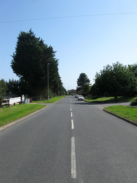
Image: © Simon Carey Taken: 16 Jun 2012
The road was constructed in the late 1970s to serve as an access route for the new estates and closes springing up as the northern part of Peacehaven from Firle Road to Telscombe Road had many of its vacant plots filled. The road heads east from Roderick Avenue before turning north towards Telscombe Road. This looks southwards past the junction with Glynn Road and the entrance to the business units next to Lower Hoddern Farm.
Images are licensed for reuse under creativecommons.org/licenses/by-sa/2.0
Image Location
Latitude
50.800714
Longitude
0.008171