Badgers Field
Introduction
The photograph on this page of Badgers Field by Simon Carey as part of the Geograph project.
The Geograph project started in 2005 with the aim of publishing, organising and preserving representative images for every square kilometre of Great Britain, Ireland and the Isle of Man.

There are currently over 7.5m images from over 14,400 individuals and you can help contribute to the project by visiting https://www.geograph.org.uk
Badgers Field
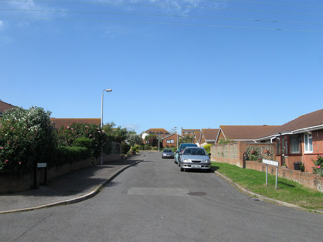
Image: © Simon Carey Taken: 16 Jun 2012
Small cul de sac off Glynn Road developed during the mid to late 1980s as part of the infilling of vacant plots between Firle Road and Telscombe Road.
Images are licensed for reuse under creativecommons.org/licenses/by-sa/2.0
Image Location
Latitude
50.803119
Longitude
0.0043