The Stroudwater Navigation, Ebley
Introduction
The photograph on this page of The Stroudwater Navigation, Ebley by Philip Pankhurst as part of the Geograph project.
The Geograph project started in 2005 with the aim of publishing, organising and preserving representative images for every square kilometre of Great Britain, Ireland and the Isle of Man.

There are currently over 7.5m images from over 14,400 individuals and you can help contribute to the project by visiting https://www.geograph.org.uk
The Stroudwater Navigation, Ebley
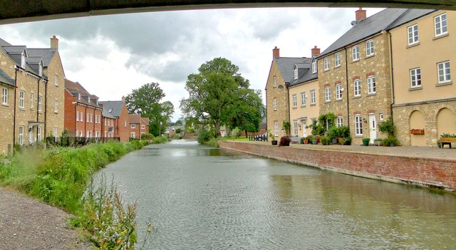
Image: © Philip Pankhurst Taken: 15 Jun 2012
The restored canal, looking towards the new Oil Mills Bridge. Desirable, homely dwellings flank the canal on each side.
Images are licensed for reuse under creativecommons.org/licenses/by-sa/2.0
Image Location
Latitude
51.740018
Longitude
-2.250063