West End, Ashwell
Introduction
The photograph on this page of West End, Ashwell by Stefan Czapski as part of the Geograph project.
The Geograph project started in 2005 with the aim of publishing, organising and preserving representative images for every square kilometre of Great Britain, Ireland and the Isle of Man.

There are currently over 7.5m images from over 14,400 individuals and you can help contribute to the project by visiting https://www.geograph.org.uk
West End, Ashwell
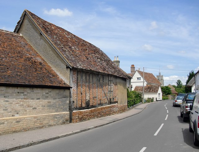
Image: © Stefan Czapski Taken: 14 Jun 2012
Looking east, towards the parish church. The timber-framed farm building in the foreground is also to be seen here: http://www.geograph.org.uk/photo/2994957
Images are licensed for reuse under creativecommons.org/licenses/by-sa/2.0
Image Location
Latitude
52.039676
Longitude
-0.158259