Water Street approaches the A48 near Margam
Introduction
The photograph on this page of Water Street approaches the A48 near Margam by Jaggery as part of the Geograph project.
The Geograph project started in 2005 with the aim of publishing, organising and preserving representative images for every square kilometre of Great Britain, Ireland and the Isle of Man.

There are currently over 7.5m images from over 14,400 individuals and you can help contribute to the project by visiting https://www.geograph.org.uk
Water Street approaches the A48 near Margam
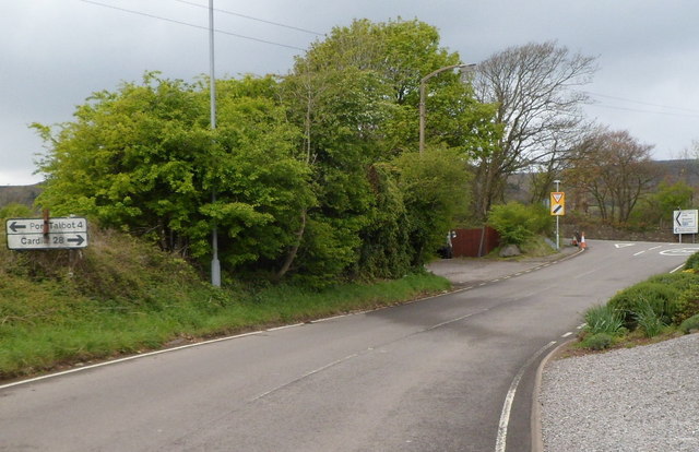
Image: © Jaggery Taken: 19 Apr 2012
A sign on the left shows turn left ahead for Port Talbot (4 miles) or right for Cardiff (28 miles).
Images are licensed for reuse under creativecommons.org/licenses/by-sa/2.0
Image Location
Latitude
51.555603
Longitude
-3.730857