The Joff Playing Fields
Introduction
The photograph on this page of The Joff Playing Fields by Simon Carey as part of the Geograph project.
The Geograph project started in 2005 with the aim of publishing, organising and preserving representative images for every square kilometre of Great Britain, Ireland and the Isle of Man.

There are currently over 7.5m images from over 14,400 individuals and you can help contribute to the project by visiting https://www.geograph.org.uk
The Joff Playing Fields
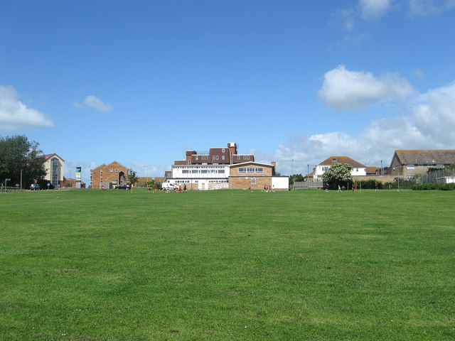
Image: © Simon Carey Taken: 9 Jun 2012
Squeezed between the meridian Centre out of shot to the left and a residential area to the right. The playing field was once much more extensive but was lost to the development of the former during the late 1970s. The building beyond is Image the local youth centre whilst beyond is Image and to the left the new medical centre.
Images are licensed for reuse under creativecommons.org/licenses/by-sa/2.0
Image Location
Latitude
50.796877
Longitude
0.001195