Housing development site yard
Introduction
The photograph on this page of Housing development site yard by David P Howard as part of the Geograph project.
The Geograph project started in 2005 with the aim of publishing, organising and preserving representative images for every square kilometre of Great Britain, Ireland and the Isle of Man.

There are currently over 7.5m images from over 14,400 individuals and you can help contribute to the project by visiting https://www.geograph.org.uk
Housing development site yard
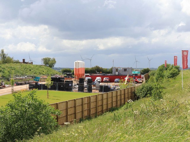
Image: © David P Howard Taken: 15 Jun 2012
This is the site yard for Davidsons Lavender Fields housing development, between the A617 and the B6020 Kirklington Road in Rainworth. http://www.davidsonsgroup.co.uk/new-homes-for-sale/rainworth-mansfield-nottinghamshire/ In the background can be seen some wind turbines in Image
Images are licensed for reuse under creativecommons.org/licenses/by-sa/2.0
Image Location
Latitude
53.12015
Longitude
-1.107769