Balk Beck
Introduction
The photograph on this page of Balk Beck by Martin Dawes as part of the Geograph project.
The Geograph project started in 2005 with the aim of publishing, organising and preserving representative images for every square kilometre of Great Britain, Ireland and the Isle of Man.

There are currently over 7.5m images from over 14,400 individuals and you can help contribute to the project by visiting https://www.geograph.org.uk
Balk Beck
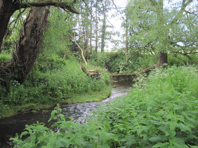
Image: © Martin Dawes Taken: 13 Jun 2012
On the footpath to Balk, there is a good footbridge here not shown on O/S map
Images are licensed for reuse under creativecommons.org/licenses/by-sa/2.0
Image Location
Latitude
54.212881
Longitude
-1.26809