Nottingham - NG7 (Park)
Introduction
The photograph on this page of Nottingham - NG7 (Park) by David Hallam-Jones as part of the Geograph project.
The Geograph project started in 2005 with the aim of publishing, organising and preserving representative images for every square kilometre of Great Britain, Ireland and the Isle of Man.

There are currently over 7.5m images from over 14,400 individuals and you can help contribute to the project by visiting https://www.geograph.org.uk
Nottingham - NG7 (Park)
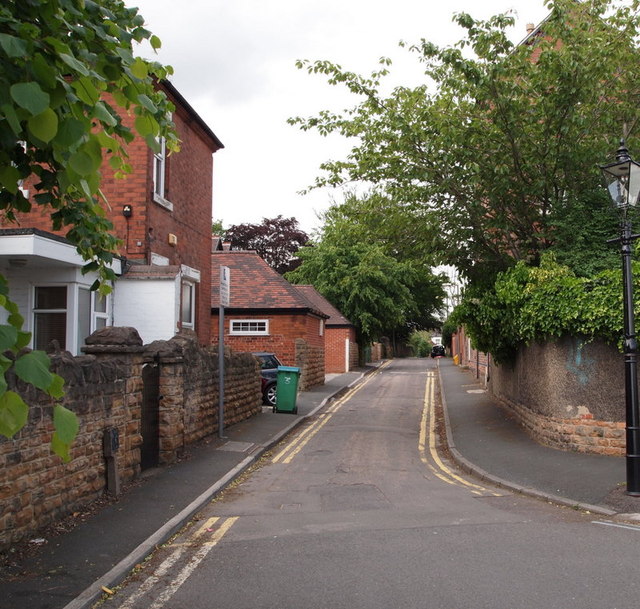
Image: © David Hallam-Jones Taken: 10 Jun 2012
Barrack Lane from the junction with Pelham Crescent looking in the Derby Road direction, i.e. looking out of the estate from one of the estate's outer edges.
Images are licensed for reuse under creativecommons.org/licenses/by-sa/2.0
Image Location
Latitude
52.953116
Longitude
-1.168218