Nottingham - NG7 (Park)
Introduction
The photograph on this page of Nottingham - NG7 (Park) by David Hallam-Jones as part of the Geograph project.
The Geograph project started in 2005 with the aim of publishing, organising and preserving representative images for every square kilometre of Great Britain, Ireland and the Isle of Man.

There are currently over 7.5m images from over 14,400 individuals and you can help contribute to the project by visiting https://www.geograph.org.uk
Nottingham - NG7 (Park)
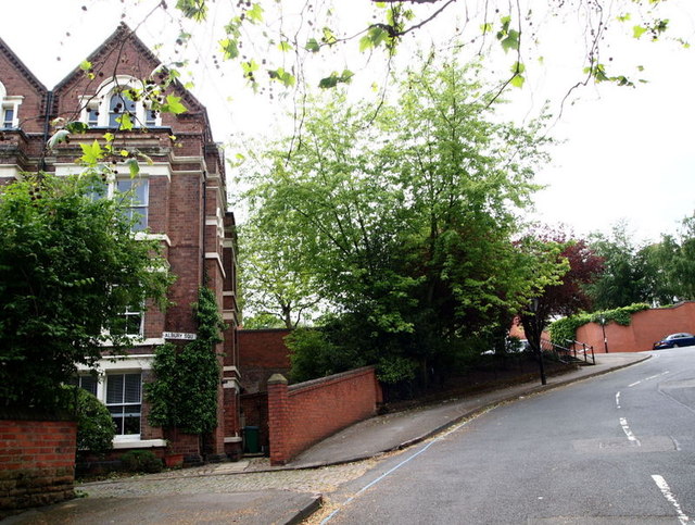
Image: © David Hallam-Jones Taken: 10 Jun 2012
The steep hill at the top of Tatterhall Drive and the sharp left hand bend at the top, leading into North Road. The street sign "Albury Square" that is attached to this large post-1920s house refers to a cluster of newer properties that have been built on what must have previously been carriage premises or gardens?
Images are licensed for reuse under creativecommons.org/licenses/by-sa/2.0
Image Location
Latitude
52.953637
Longitude
-1.165677