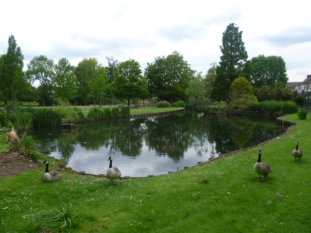
Waddon Ponds
Introduction
The photograph on this page of Waddon Ponds by Marathon as part of the Geograph project.
The Geograph project started in 2005 with the aim of publishing, organising and preserving representative images for every square kilometre of Great Britain, Ireland and the Isle of Man.
There are currently over 7.5m images from over 14,400 individuals and you can help contribute to the project by visiting https://www.geograph.org.uk

Image: © Marathon Taken: 13 Jun 2012
Waddon Ponds are fed by springs which arise at the junction of beds of sand and chalk with gravel. The water flows north towards Mill Lane and what used to be a mill pond and the River Wandle. In 1910 Waddon Ponds belonged to two estates, Waddon Court and Waddon Lodge. When the two owners died, Croydon Corporation bought part of both estates in 1928. The rest of both estates was sold to developers for housing. The ponds vary in depth and over a period of years. There have been times when they have dried out completely.

