Moathouse Lane Bridge
Introduction
The photograph on this page of Moathouse Lane Bridge by John M as part of the Geograph project.
The Geograph project started in 2005 with the aim of publishing, organising and preserving representative images for every square kilometre of Great Britain, Ireland and the Isle of Man.

There are currently over 7.5m images from over 14,400 individuals and you can help contribute to the project by visiting https://www.geograph.org.uk
Moathouse Lane Bridge
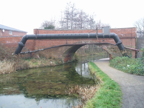
Image: © John M Taken: 26 Dec 2006
This bridge carries a footpath and cycleway over the Wyrley and Essington Canal. The canal by following the contours has no locks on this section but takes a very meandering route hence its nickname 'Curly Wyrley'. This bridge has been partially rebuilt and extended as can be seen from the change in brick colour.
Images are licensed for reuse under creativecommons.org/licenses/by-sa/2.0
Image Location
Latitude
52.607655
Longitude
-2.078221