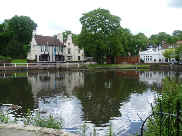
Carshalton Ponds
Introduction
The photograph on this page of Carshalton Ponds by Marathon as part of the Geograph project.
The Geograph project started in 2005 with the aim of publishing, organising and preserving representative images for every square kilometre of Great Britain, Ireland and the Isle of Man.
There are currently over 7.5m images from over 14,400 individuals and you can help contribute to the project by visiting https://www.geograph.org.uk

Image: © Marathon Taken: 13 Jun 2012
Carshalton Ponds lie near one of the former sources of the River Wandle. There are two ponds, the upper West Pond and the lower East Pond with a difference of about half a metre between the two. The ponds were historically one sheet of water but seem to have been divided in medieval times. Since records began the West Pond was public property while the East Pond was private, belonging first to Stone Court and then The Grove. A medieval owner of Stone Court was the first builder of the causeway which divides the two waters and it seems to have always been used as a footway. This is the West Pond from near the war memorial in Honeywood Walk looking across to the busy Pound Street on the other side. The Greyhound Hotel is to the left while to the right is the Honeywood Museum - see http://www.friendsofhoneywood.co.uk/

