River Leven
Introduction
The photograph on this page of River Leven by Mick Garratt as part of the Geograph project.
The Geograph project started in 2005 with the aim of publishing, organising and preserving representative images for every square kilometre of Great Britain, Ireland and the Isle of Man.

There are currently over 7.5m images from over 14,400 individuals and you can help contribute to the project by visiting https://www.geograph.org.uk
River Leven
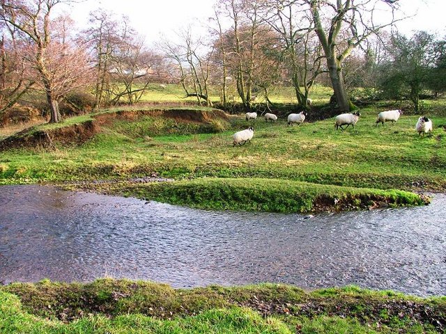
Image: © Mick Garratt Taken: 25 Dec 2006
The O.S. 1:25,000 map still shows a meander of the River Leven at this point. The sheep are wandering across the old course of the river and the trees indicate the line of the old bank. The meander was bypassed around five years ago during a severe rainy period. Compare with Image] taken when the river is in flood.
Images are licensed for reuse under creativecommons.org/licenses/by-sa/2.0
Image Location
Latitude
54.483987
Longitude
-1.126348