Honeybourne First School
Introduction
The photograph on this page of Honeybourne First School by Michael Dibb as part of the Geograph project.
The Geograph project started in 2005 with the aim of publishing, organising and preserving representative images for every square kilometre of Great Britain, Ireland and the Isle of Man.

There are currently over 7.5m images from over 14,400 individuals and you can help contribute to the project by visiting https://www.geograph.org.uk
Honeybourne First School
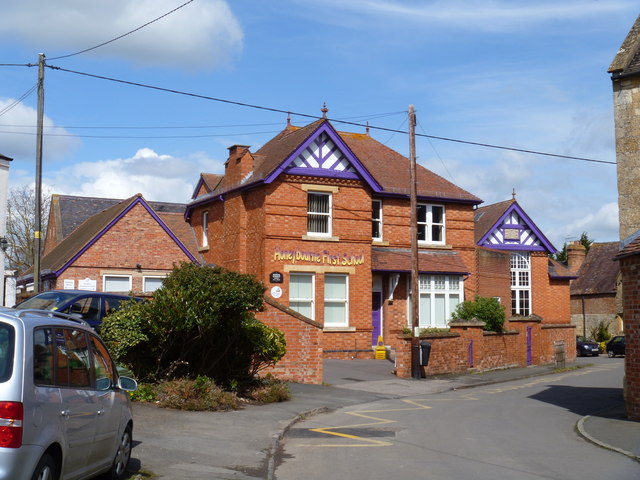
Image: © Michael Dibb Taken: 21 Apr 2012
The building dates back to the 19th century. The school caters for about 120 pupils.
Images are licensed for reuse under creativecommons.org/licenses/by-sa/2.0
Image Location
Latitude
52.09234
Longitude
-1.835018