Eastern Way flyover
Introduction
The photograph on this page of Eastern Way flyover by Stephen Craven as part of the Geograph project.
The Geograph project started in 2005 with the aim of publishing, organising and preserving representative images for every square kilometre of Great Britain, Ireland and the Isle of Man.

There are currently over 7.5m images from over 14,400 individuals and you can help contribute to the project by visiting https://www.geograph.org.uk
Eastern Way flyover
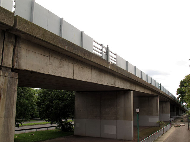
Image: © Stephen Craven Taken: 9 Jun 2012
The ramp up to the junction with the A2041 Carlyle Road, seen from an adjacent pedestrian walkway. It is hard to believe this is in the same square as a country scene like Image
Images are licensed for reuse under creativecommons.org/licenses/by-sa/2.0
Image Location
Latitude
51.500958
Longitude
0.118626