Garden of Bunhill Fields Burial Ground
Introduction
The photograph on this page of Garden of Bunhill Fields Burial Ground by David Hawgood as part of the Geograph project.
The Geograph project started in 2005 with the aim of publishing, organising and preserving representative images for every square kilometre of Great Britain, Ireland and the Isle of Man.

There are currently over 7.5m images from over 14,400 individuals and you can help contribute to the project by visiting https://www.geograph.org.uk
Garden of Bunhill Fields Burial Ground
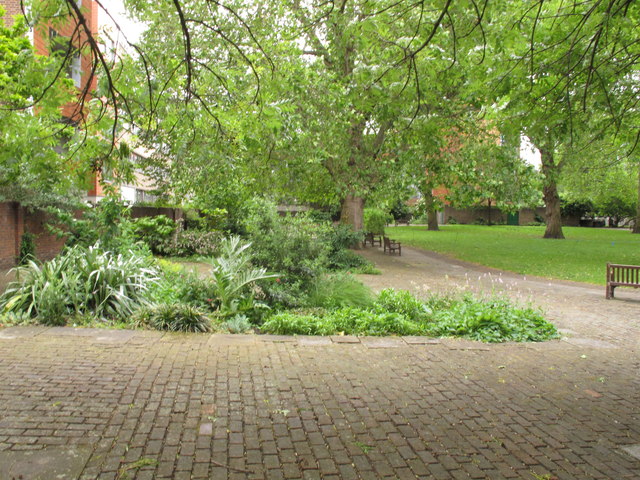
Image: © David Hawgood Taken: 9 Jun 2012
Part of the burial ground was laid out as a public garden in the 1870s.
Images are licensed for reuse under creativecommons.org/licenses/by-sa/2.0
Image Location
Latitude
51.524132
Longitude
-0.089183