Nottingham - NG12 (Melton Rd)
Introduction
The photograph on this page of Nottingham - NG12 (Melton Rd) by David Hallam-Jones as part of the Geograph project.
The Geograph project started in 2005 with the aim of publishing, organising and preserving representative images for every square kilometre of Great Britain, Ireland and the Isle of Man.

There are currently over 7.5m images from over 14,400 individuals and you can help contribute to the project by visiting https://www.geograph.org.uk
Nottingham - NG12 (Melton Rd)
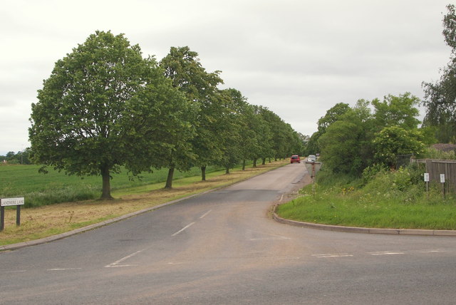
Image: © David Hallam-Jones Taken: 9 Jun 2012
The entrance/exit to Landmere Lane, off Melton Road (the A606). This cul-de-sac is used by motorists visiting the popular Wheatcroft Garden Centre that is located at the far end of it. "Toll Bar House", that was previously situated behind the fence on the right-hand side of this picture (marked on the 2007 version of the Nottingham A-Z Street Atlas) seems to have been demolished and in its place is a concrete standing area where large quantities of top soil are being stored.
Images are licensed for reuse under creativecommons.org/licenses/by-sa/2.0
Image Location
Latitude
52.902251
Longitude
-1.120576