Nottingham - NG7 (Park)
Introduction
The photograph on this page of Nottingham - NG7 (Park) by David Hallam-Jones as part of the Geograph project.
The Geograph project started in 2005 with the aim of publishing, organising and preserving representative images for every square kilometre of Great Britain, Ireland and the Isle of Man.

There are currently over 7.5m images from over 14,400 individuals and you can help contribute to the project by visiting https://www.geograph.org.uk
Nottingham - NG7 (Park)
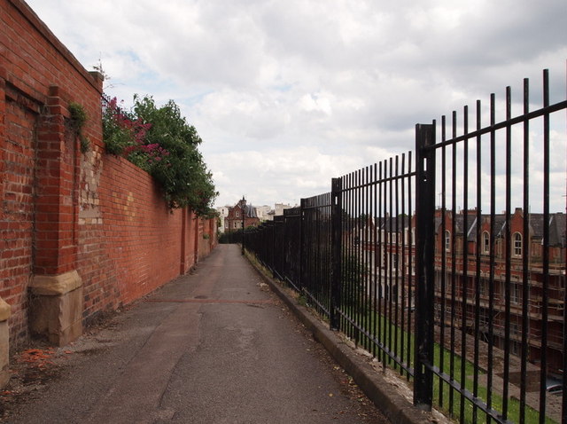
Image: © David Hallam-Jones Taken: 10 Jun 2012
The initial section of a footpath that commences off of Newcastle Terrace (near to the rear of Canning Cricus Police Station) and continues towards the junction of Newcastle Drive and Park Terrace, hugging as it does so, the rear garden walls of properties in The Ropewalk. On the right-hand side, behind the railings, pedestrians are able to look down upon Newcastle Drive.
Images are licensed for reuse under creativecommons.org/licenses/by-sa/2.0
Image Location
Latitude
52.95478
Longitude
-1.161934