The route of Offa's Dyke Path
Introduction
The photograph on this page of The route of Offa's Dyke Path by Philip Halling as part of the Geograph project.
The Geograph project started in 2005 with the aim of publishing, organising and preserving representative images for every square kilometre of Great Britain, Ireland and the Isle of Man.

There are currently over 7.5m images from over 14,400 individuals and you can help contribute to the project by visiting https://www.geograph.org.uk
The route of Offa's Dyke Path
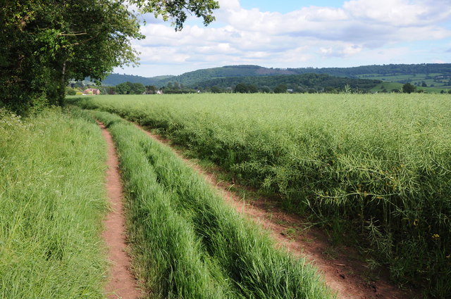
Image: © Philip Halling Taken: 9 Jun 2012
Offa's Dyke Path follows this track as it approaches Watery Lane and the county town of Monmouth. The crop in the field to the right is oilseed rape with the seed pods forming after the bright yellow flowers have gone.
Images are licensed for reuse under creativecommons.org/licenses/by-sa/2.0
Image Location
Latitude
51.814366
Longitude
-2.742094