Nottingham - NG2 (Wilford Area)
Introduction
The photograph on this page of Nottingham - NG2 (Wilford Area) by David Hallam-Jones as part of the Geograph project.
The Geograph project started in 2005 with the aim of publishing, organising and preserving representative images for every square kilometre of Great Britain, Ireland and the Isle of Man.

There are currently over 7.5m images from over 14,400 individuals and you can help contribute to the project by visiting https://www.geograph.org.uk
Nottingham - NG2 (Wilford Area)
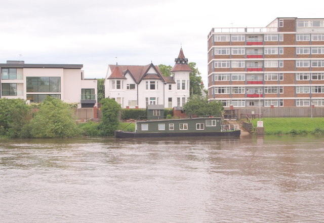
Image: © David Hallam-Jones Taken: 9 Jun 2012
Four contrasting residential options on the side of the River Trent, as seen from Victoria Embankment. The midpoint between the two river banks marks the boundary between the Municipal Borough of Rushcliffe and the City of Nottingham.
Images are licensed for reuse under creativecommons.org/licenses/by-sa/2.0
Image Location
Latitude
52.931624
Longitude
-1.141999