Summerfield Woods, Walled Garden
Introduction
The photograph on this page of Summerfield Woods, Walled Garden by Oast House Archive as part of the Geograph project.
The Geograph project started in 2005 with the aim of publishing, organising and preserving representative images for every square kilometre of Great Britain, Ireland and the Isle of Man.

There are currently over 7.5m images from over 14,400 individuals and you can help contribute to the project by visiting https://www.geograph.org.uk
Summerfield Woods, Walled Garden
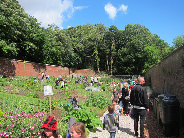
Image: © Oast House Archive Taken: 9 Jun 2012
The space was derelict until recent years and now has a new lease of life as allotments. Seen during an open day event.
Images are licensed for reuse under creativecommons.org/licenses/by-sa/2.0
Image Location
Latitude
50.858977
Longitude
0.568417