A3079 at Morecombe Cross
Introduction
The photograph on this page of A3079 at Morecombe Cross by David Smith as part of the Geograph project.
The Geograph project started in 2005 with the aim of publishing, organising and preserving representative images for every square kilometre of Great Britain, Ireland and the Isle of Man.

There are currently over 7.5m images from over 14,400 individuals and you can help contribute to the project by visiting https://www.geograph.org.uk
A3079 at Morecombe Cross
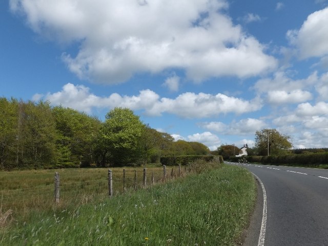
Image: © David Smith Taken: 11 May 2012
The road runs east to Cookworthy with fields between the road and the plantation on the left. Beyond Cookworthy the road runs through the woodland.
Images are licensed for reuse under creativecommons.org/licenses/by-sa/2.0
Image Location
Latitude
50.792653
Longitude
-4.26129