The upper section of the village of Rostrevor from the Cloughmore ridge
Introduction
The photograph on this page of The upper section of the village of Rostrevor from the Cloughmore ridge by Eric Jones as part of the Geograph project.
The Geograph project started in 2005 with the aim of publishing, organising and preserving representative images for every square kilometre of Great Britain, Ireland and the Isle of Man.

There are currently over 7.5m images from over 14,400 individuals and you can help contribute to the project by visiting https://www.geograph.org.uk
The upper section of the village of Rostrevor from the Cloughmore ridge
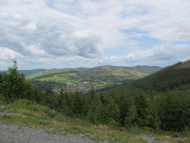
Image: © Eric Jones Taken: 4 Jun 2012
Upper Rostrevor occupies the slopes of the valley of the Kilbroney River and is enclosed by the hills of the Western Mournes.
Images are licensed for reuse under creativecommons.org/licenses/by-sa/2.0
Image Location
Latitude
54.105208
Longitude
-6.187085