Damp valley bottom
Introduction
The photograph on this page of Damp valley bottom by Jonathan Wilkins as part of the Geograph project.
The Geograph project started in 2005 with the aim of publishing, organising and preserving representative images for every square kilometre of Great Britain, Ireland and the Isle of Man.

There are currently over 7.5m images from over 14,400 individuals and you can help contribute to the project by visiting https://www.geograph.org.uk
Damp valley bottom
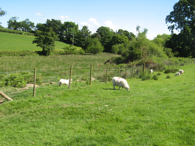
Image: © Jonathan Wilkins Taken: 4 Jun 2012
The bottom of this little valley has damp woodland and a rushy hollow which drains northwards into the Afon Roe.
Images are licensed for reuse under creativecommons.org/licenses/by-sa/2.0
Image Location
Latitude
53.215955
Longitude
-3.853234