Under the wires
Introduction
The photograph on this page of Under the wires by James Allan as part of the Geograph project.
The Geograph project started in 2005 with the aim of publishing, organising and preserving representative images for every square kilometre of Great Britain, Ireland and the Isle of Man.

There are currently over 7.5m images from over 14,400 individuals and you can help contribute to the project by visiting https://www.geograph.org.uk
Under the wires
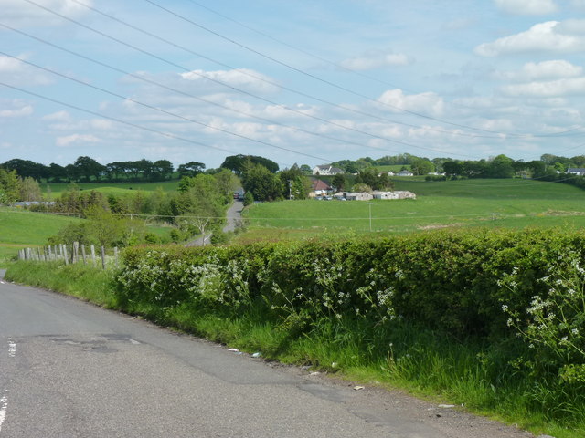
Image: © James Allan Taken: 1 Jun 2012
Side road off the B769 near Newton Mearns.
Images are licensed for reuse under creativecommons.org/licenses/by-sa/2.0
Image Location
Latitude
55.765784
Longitude
-4.371516