NW boundary of Brecon
Introduction
The photograph on this page of NW boundary of Brecon by Jaggery as part of the Geograph project.
The Geograph project started in 2005 with the aim of publishing, organising and preserving representative images for every square kilometre of Great Britain, Ireland and the Isle of Man.

There are currently over 7.5m images from over 14,400 individuals and you can help contribute to the project by visiting https://www.geograph.org.uk
NW boundary of Brecon
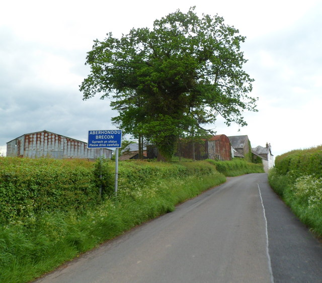
Image: © Jaggery Taken: 4 Jun 2012
The road from Cradoc reaches Brecon, the third largest town in Powys. Its population at the 2001 census was 7,901. The buildings are part of Pwll-y-calch Farm.
Images are licensed for reuse under creativecommons.org/licenses/by-sa/2.0
Image Location
Latitude
51.95377
Longitude
-3.40708