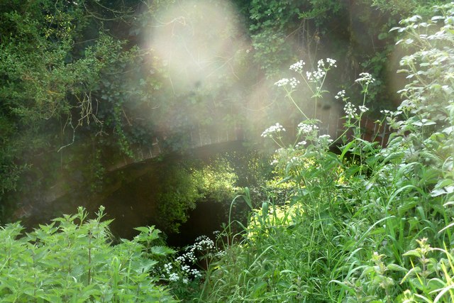
The old canal bridge, north of Burndell Road, Yapton
Introduction
The photograph on this page of The old canal bridge, north of Burndell Road, Yapton by Peter H Jones as part of the Geograph project.
The Geograph project started in 2005 with the aim of publishing, organising and preserving representative images for every square kilometre of Great Britain, Ireland and the Isle of Man.
There are currently over 7.5m images from over 14,400 individuals and you can help contribute to the project by visiting https://www.geograph.org.uk

Image: © Peter H Jones Taken: 23 May 2012
The old bridge (pictured) is scheduled to be demolished by the developers, when the new estate of some 170 houses is built in and around these fields where the bridge is situated. Quite when the building will commence nobody knows but planning permission has been granted so building with almost certainly take place. Unless the bridge is listed by the local authority, we shall lose it. The canal was originally constructed to carry (amongst other things) munitions to and from London/Portsmouth during the Napoleonic wars. It was never a viably operating system.

