Sheffield - S10 (Lodge Moor)
Introduction
The photograph on this page of Sheffield - S10 (Lodge Moor) by David Hallam-Jones as part of the Geograph project.
The Geograph project started in 2005 with the aim of publishing, organising and preserving representative images for every square kilometre of Great Britain, Ireland and the Isle of Man.

There are currently over 7.5m images from over 14,400 individuals and you can help contribute to the project by visiting https://www.geograph.org.uk
Sheffield - S10 (Lodge Moor)
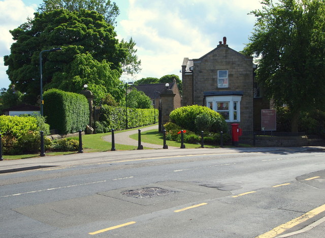
Image: © David Hallam-Jones Taken: 4 Jun 2012
The main gates and entrance to the former Lodge Moor Hospital. The building on the right (formerly a Nurse Education Centre and now a private nursery) is the last building on the left-hand side of this road that leads to the nearby Redmires Reservoir and then on to the moors. It was this isolated location that led to the hospital being built here. Originally built as an Isolation facility for smallpox cases, it was later developed into a hospital caring for patients with a wider range of conditions. Also, in its later life it boasted a Regional Spinal Injuries Unit. Whilst preservation orders have been used to protect some of the original buildings, the site overall has now been developed into an up-market housing estate.
Images are licensed for reuse under creativecommons.org/licenses/by-sa/2.0
Image Location
Latitude
53.372782
Longitude
-1.569045