Benchmark at 20 Devonshire Road, Cambridge
Introduction
The photograph on this page of Benchmark at 20 Devonshire Road, Cambridge by Meirion as part of the Geograph project.
The Geograph project started in 2005 with the aim of publishing, organising and preserving representative images for every square kilometre of Great Britain, Ireland and the Isle of Man.

There are currently over 7.5m images from over 14,400 individuals and you can help contribute to the project by visiting https://www.geograph.org.uk
Benchmark at 20 Devonshire Road, Cambridge
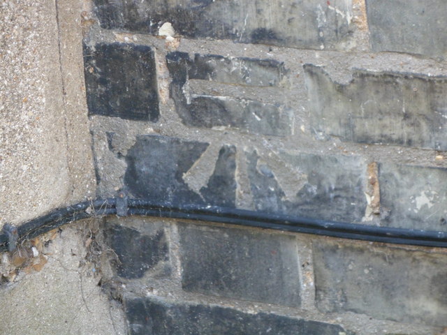
Image: © Meirion Taken: 28 May 2012
This benchmark is located on the SE face of No. 20 Devonshire Road in Cambridge and it is shown in the current Ordnance Survey database at a height of 16.1087m above the Newlyn datum.
Images are licensed for reuse under creativecommons.org/licenses/by-sa/2.0
Image Location


Leaflet Map data © OpenStreetMap
Latitude
52.197777
Longitude
0.138586