Farm buildings at Nant-y-cynog
Introduction
The photograph on this page of Farm buildings at Nant-y-cynog by John Haynes as part of the Geograph project.
The Geograph project started in 2005 with the aim of publishing, organising and preserving representative images for every square kilometre of Great Britain, Ireland and the Isle of Man.

There are currently over 7.5m images from over 14,400 individuals and you can help contribute to the project by visiting https://www.geograph.org.uk
Farm buildings at Nant-y-cynog
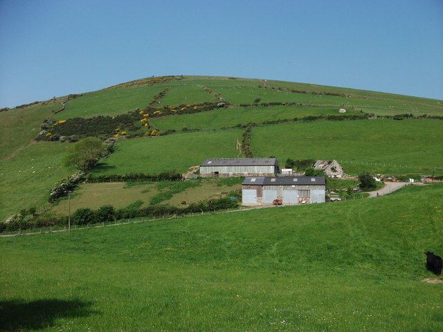
Image: © John Haynes Taken: 25 May 2012
Modern clear span buildings with stone walls. The house is derelict but still a fine stone building which may be gentrified later.
Images are licensed for reuse under creativecommons.org/licenses/by-sa/2.0
Image Location
Latitude
52.616084
Longitude
-4.091913