Lewes Road
Introduction
The photograph on this page of Lewes Road by Simon Carey as part of the Geograph project.
The Geograph project started in 2005 with the aim of publishing, organising and preserving representative images for every square kilometre of Great Britain, Ireland and the Isle of Man.

There are currently over 7.5m images from over 14,400 individuals and you can help contribute to the project by visiting https://www.geograph.org.uk
Lewes Road
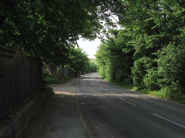
Image: © Simon Carey Taken: 2 Jun 2012
Once the A275 but downgraded to the C7 in the late 1970s when new road systems at Lewes and Newhaven rerouted the port traffic up the eastern side of the Ouse valley. The entrance to Piddinghoe Mead is on the immediate left a new estate built in the grounds of the former Newhaven Isolation Hospital.
Images are licensed for reuse under creativecommons.org/licenses/by-sa/2.0
Image Location
Latitude
50.800393
Longitude
0.037108