Bank of nettles, former A38
Introduction
The photograph on this page of Bank of nettles, former A38 by Derek Harper as part of the Geograph project.
The Geograph project started in 2005 with the aim of publishing, organising and preserving representative images for every square kilometre of Great Britain, Ireland and the Isle of Man.

There are currently over 7.5m images from over 14,400 individuals and you can help contribute to the project by visiting https://www.geograph.org.uk
Bank of nettles, former A38
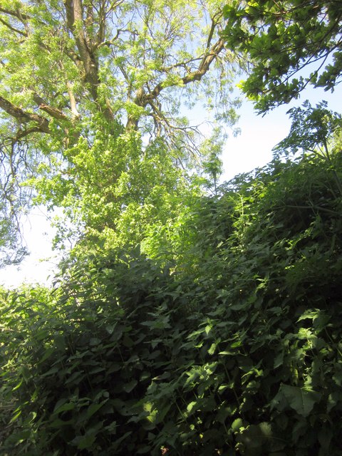
Image: © Derek Harper Taken: 26 May 2012
The only picture I took (too busy dealing with it) of the final obstacle along the public access route shown in Image and Image This would probably have been simple to cross a few weeks earlier, but the astonishingly fast growing Urtica Dioica had covered it to a height of over a metre, obscuring the steep banks on either side. Without a proper stick it took me well over 10 minutes to batter my way across and descend this western side safely.
Images are licensed for reuse under creativecommons.org/licenses/by-sa/2.0
Image Location
Latitude
50.896521
Longitude
-3.364872