Domen Ddreiniog
Introduction
The photograph on this page of Domen Ddreiniog by John Haynes as part of the Geograph project.
The Geograph project started in 2005 with the aim of publishing, organising and preserving representative images for every square kilometre of Great Britain, Ireland and the Isle of Man.

There are currently over 7.5m images from over 14,400 individuals and you can help contribute to the project by visiting https://www.geograph.org.uk
Domen Ddreiniog
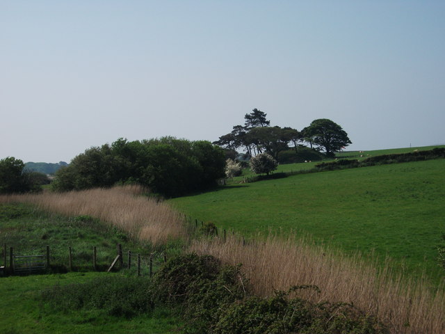
Image: © John Haynes Taken: 25 May 2012
A motte & bailey style mound at an old crossing point of Afon Dysynni. http://www.coflein.gov.uk/en/site/302714/details/TALYBONT+CASTLE+MOUND%3B+DOMEN+DDREINIOG/ The link has excellent aerial photographs.
Images are licensed for reuse under creativecommons.org/licenses/by-sa/2.0
Image Location
Latitude
52.612266
Longitude
-4.073858