Nottingham - NG2 - Wilford Area
Introduction
The photograph on this page of Nottingham - NG2 - Wilford Area by David Hallam-Jones as part of the Geograph project.
The Geograph project started in 2005 with the aim of publishing, organising and preserving representative images for every square kilometre of Great Britain, Ireland and the Isle of Man.

There are currently over 7.5m images from over 14,400 individuals and you can help contribute to the project by visiting https://www.geograph.org.uk
Nottingham - NG2 - Wilford Area
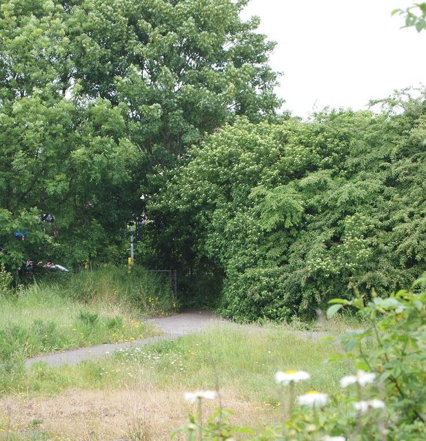
Image: © David Hallam-Jones Taken: 2 Jun 2012
The Wilford Road (B679) entrance/exit to the former Rushcliffe Council municipal waste tip. Once the tip was full the area was levelled off and covered, in part by ash from the Ratcliffe-on-Soar coal-fired power station, and it is currently open land for recreational use, albeit semi-permanently under threat of being built upon.
Images are licensed for reuse under creativecommons.org/licenses/by-sa/2.0
Image Location
Latitude
52.926382
Longitude
-1.150582