The A456 at Clows Top
Introduction
The photograph on this page of The A456 at Clows Top by Mat Fascione as part of the Geograph project.
The Geograph project started in 2005 with the aim of publishing, organising and preserving representative images for every square kilometre of Great Britain, Ireland and the Isle of Man.

There are currently over 7.5m images from over 14,400 individuals and you can help contribute to the project by visiting https://www.geograph.org.uk
The A456 at Clows Top
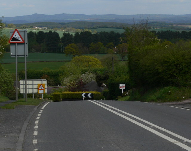
Image: © Mat Fascione Taken: 16 May 2012
Heading towards Bewdley and Kidderminster. The high ground on the horizon is the Clent Hills, 23 kilometres distant.
Images are licensed for reuse under creativecommons.org/licenses/by-sa/2.0
Image Location
Latitude
52.344885
Longitude
-2.417579