Benchmark bracket on All Saints Church
Introduction
The photograph on this page of Benchmark bracket on All Saints Church by Roger Templeman as part of the Geograph project.
The Geograph project started in 2005 with the aim of publishing, organising and preserving representative images for every square kilometre of Great Britain, Ireland and the Isle of Man.

There are currently over 7.5m images from over 14,400 individuals and you can help contribute to the project by visiting https://www.geograph.org.uk
Benchmark bracket on All Saints Church
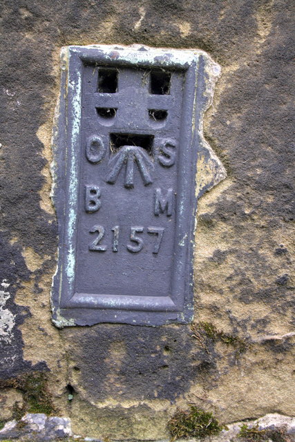
Image: © Roger Templeman Taken: 20 May 2012
This Ordnance Survey flush bracket, serial number 2157, on a buttress of the church is described on the Bench Mark Database at http://www.bench-marks.org.uk/bm10194
Images are licensed for reuse under creativecommons.org/licenses/by-sa/2.0
Image Location
Latitude
54.342126
Longitude
-1.43669