The Carstairs Esker
Introduction
The photograph on this page of The Carstairs Esker by Mary and Angus Hogg as part of the Geograph project.
The Geograph project started in 2005 with the aim of publishing, organising and preserving representative images for every square kilometre of Great Britain, Ireland and the Isle of Man.

There are currently over 7.5m images from over 14,400 individuals and you can help contribute to the project by visiting https://www.geograph.org.uk
The Carstairs Esker
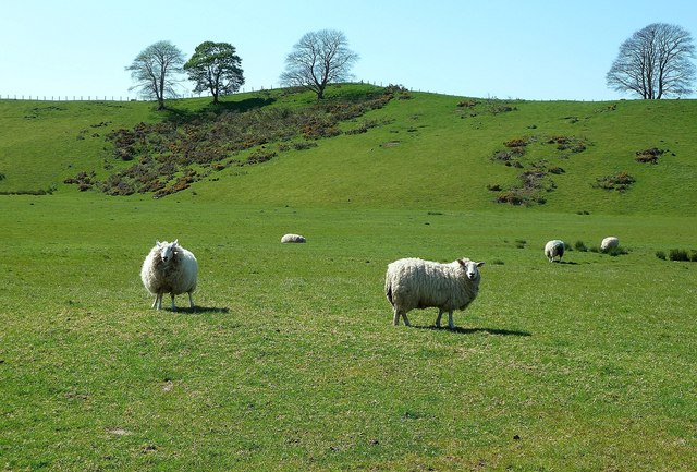
Image: © Mary and Angus Hogg Taken: 25 May 2012
The high ground is part of the Carstairs esker system, which is the best-known example of its kind in Scotland. The long twisting ridge of sand and gravel marks the position of a river that flowed below stagnant ice at the end of the last Ice Age.
Images are licensed for reuse under creativecommons.org/licenses/by-sa/2.0
Image Location
Latitude
55.702852
Longitude
-3.687644