Private housing
Introduction
The photograph on this page of Private housing by Bob Forrest as part of the Geograph project.
The Geograph project started in 2005 with the aim of publishing, organising and preserving representative images for every square kilometre of Great Britain, Ireland and the Isle of Man.

There are currently over 7.5m images from over 14,400 individuals and you can help contribute to the project by visiting https://www.geograph.org.uk
Private housing
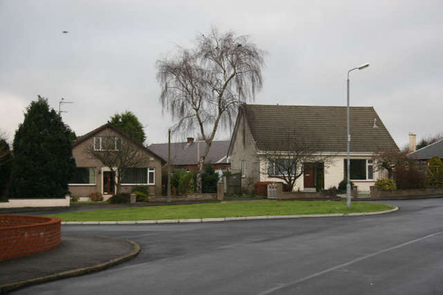
Image: © Bob Forrest Taken: 21 Dec 2006
Private housing dating from the early 1970 era. The houses are built on Church of Scotland land hence the Glebe being the name for this development. In the past the area was used for market gardening. The road in the foreground joins up with Welton Road which leads to Welton Farm found in grid square NS5127.
Images are licensed for reuse under creativecommons.org/licenses/by-sa/2.0
Image Location
Latitude
55.51455
Longitude
-4.377128