Drive to Haneys
Introduction
The photograph on this page of Drive to Haneys by Hugh Craddock as part of the Geograph project.
The Geograph project started in 2005 with the aim of publishing, organising and preserving representative images for every square kilometre of Great Britain, Ireland and the Isle of Man.

There are currently over 7.5m images from over 14,400 individuals and you can help contribute to the project by visiting https://www.geograph.org.uk
Drive to Haneys
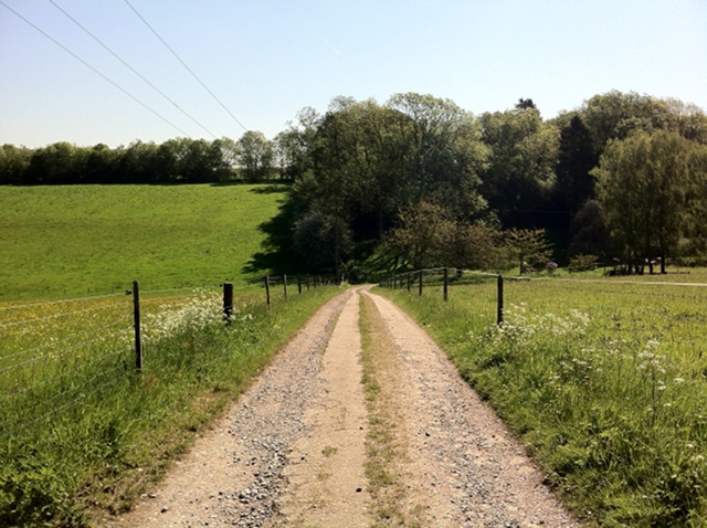
Image: © Hugh Craddock Taken: 25 May 2012
Drive from High Barn Road to Haneys (out of sight down the valley to the right) also public footpath Effingham 125/Wootton 96 which continues through the wood opposite and onto Ranmore Common at Stoneyrock Lane.
Images are licensed for reuse under creativecommons.org/licenses/by-sa/2.0
Image Location
Latitude
51.243682
Longitude
-0.396976