Tannery House, Sittingbourne
Introduction
The photograph on this page of Tannery House, Sittingbourne by David Anstiss as part of the Geograph project.
The Geograph project started in 2005 with the aim of publishing, organising and preserving representative images for every square kilometre of Great Britain, Ireland and the Isle of Man.

There are currently over 7.5m images from over 14,400 individuals and you can help contribute to the project by visiting https://www.geograph.org.uk
Tannery House, Sittingbourne
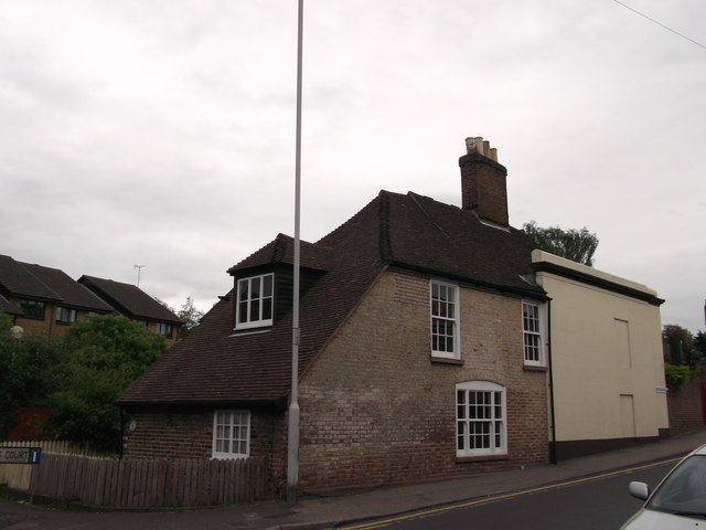
Image: © David Anstiss Taken: 31 May 2012
A Grade II listed house on Chalkwell Road. Was once two houses. See http://www.britishlistedbuildings.co.uk/en-175719-tannery-house-1-and-2-sittingbourne for more details.
Images are licensed for reuse under creativecommons.org/licenses/by-sa/2.0
Image Location
Latitude
51.342374
Longitude
0.724886