Woodland near Pont Dolgarrog
Introduction
The photograph on this page of Woodland near Pont Dolgarrog by Ruth Riddle as part of the Geograph project.
The Geograph project started in 2005 with the aim of publishing, organising and preserving representative images for every square kilometre of Great Britain, Ireland and the Isle of Man.

There are currently over 7.5m images from over 14,400 individuals and you can help contribute to the project by visiting https://www.geograph.org.uk
Woodland near Pont Dolgarrog
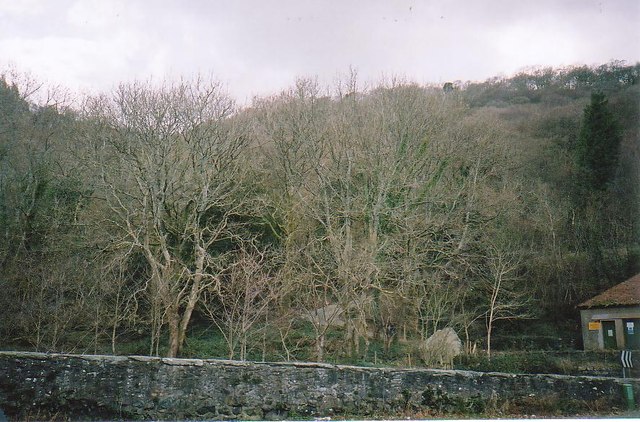
Image: © Ruth Riddle Taken: 5 Mar 2002
The path seen amidst the trees winds up from the B5106 through the woods to open hillsides above.
Images are licensed for reuse under creativecommons.org/licenses/by-sa/2.0
Image Location
Latitude
53.179538
Longitude
-3.83625